Decoding Special Marine Warnings: A Comprehensive Guide for Boaters and Coastal Residents
Navigating coastal waters requires constant vigilance and respect for the power of nature. Among the critical information sources for mariners and coastal residents are special marine warnings. These warnings are not just advisories; they are urgent alerts signaling imminent hazardous weather conditions that pose a significant threat to life and property. Understanding what these warnings mean, how they are issued, and what actions to take in response can be the difference between a safe voyage and a dangerous situation. This comprehensive guide provides an in-depth look at special marine warnings, equipping you with the knowledge to navigate coastal waters with greater safety and confidence.
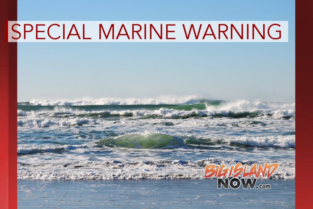
Understanding the Nature of Special Marine Warnings
Special marine warnings (SMWs) are issued by the National Weather Service (NWS) to alert mariners and coastal communities to short-lived, hazardous conditions that are not adequately covered by routine forecasts. These conditions typically involve strong winds, hazardous seas, or other localized phenomena that can rapidly develop and pose an immediate threat. Unlike longer-term forecasts, SMWs are designed to provide timely notice of imminent dangers, allowing those at sea and along the coast to take necessary precautions.
The scope of an SMW is highly specific, focusing on the precise location and duration of the hazardous conditions. This targeted approach ensures that the warning is relevant and actionable, minimizing unnecessary disruption while maximizing safety. The NWS uses a variety of observational tools, including radar, buoy data, and reports from trained spotters, to detect and track developing weather hazards. This real-time monitoring allows them to issue SMWs with a high degree of accuracy and timeliness.
Differentiating SMWs from Other Marine Advisories
It’s crucial to distinguish SMWs from other types of marine advisories, such as small craft advisories, gale warnings, and hurricane warnings. Small craft advisories are issued for less severe conditions, typically involving winds of 20 to 33 knots and seas of 4 feet or less. Gale warnings are issued for stronger winds, ranging from 34 to 47 knots. Hurricane warnings are reserved for the most extreme weather events, involving sustained winds of 64 knots or higher associated with a tropical cyclone. Special marine warnings, on the other hand, fill the gap between these broader advisories, addressing localized, short-term hazards that may not warrant a full-blown gale or hurricane warning but still pose a significant risk.
For example, a thunderstorm capable of producing a brief but intense squall with winds exceeding 34 knots in a localized area may trigger a special marine warning. Similarly, a sudden increase in wave height due to a passing cold front could also warrant an SMW. These events are often unpredictable and can develop rapidly, making timely warnings essential for mariners and coastal residents.
The Vital Role of NOAA Weather Radio
NOAA Weather Radio (NWR) is a nationwide network broadcasting weather information 24 hours a day. It is the primary means for disseminating SMWs to the public. NWR broadcasts warnings, forecasts, and other hazard information tailored to specific geographic areas. The broadcasts are automated, allowing for rapid dissemination of critical information. NOAA Weather Radio is considered by many to be the most reliable way to receive warnings.
NWR uses a system called Specific Area Message Encoding (SAME) to target warnings to specific counties or marine zones. This allows users to program their NWR receivers to only receive alerts for their area of interest, minimizing false alarms. SAME coding is essential for ensuring that you receive timely and relevant warnings without being bombarded with irrelevant information.
The Importance of a Weather Alert Radio
A weather alert radio, particularly one with SAME capabilities, is an indispensable tool for anyone living in a coastal area or spending time on the water. These radios are designed to automatically activate when a warning is issued for your designated area, providing immediate notification of potential hazards. Many models also feature a battery backup, ensuring that you can receive warnings even during a power outage. In our experience, having a reliable weather alert radio can provide critical minutes to prepare for an approaching storm or other hazardous weather event.
Key Features of Marine Weather Apps
In today’s digital age, marine weather apps have become indispensable tools for boaters and coastal residents. These apps provide real-time access to weather forecasts, radar imagery, and, most importantly, special marine warnings. Many apps offer customizable alerts, allowing you to receive notifications when a warning is issued for your specific location. One of the most useful apps is the NOAA Weather app. It provides access to official NWS forecasts and warnings.
Customizable Alerts
A key feature of marine weather apps is the ability to customize alerts based on your location and preferences. You can set up notifications for specific types of warnings, such as special marine warnings, and define the geographic area for which you want to receive alerts. This ensures that you are only notified of potential hazards that directly affect you, minimizing unnecessary distractions. Customization allows you to filter out irrelevant information and focus on the warnings that truly matter.
Radar Imagery
Most marine weather apps include radar imagery, allowing you to visualize the location and movement of storms and other weather features. Radar can be invaluable for assessing the potential threat posed by an approaching storm and for making informed decisions about whether to seek shelter or alter your course. The ability to zoom in and out on the radar image and to view historical data can provide a comprehensive understanding of the weather situation.
Real-Time Weather Data
Marine weather apps provide access to real-time weather data from a variety of sources, including buoys, weather stations, and satellites. This data can include wind speed and direction, wave height, water temperature, and atmospheric pressure. Monitoring these parameters can help you assess the current conditions and anticipate potential changes in the weather. Real-time weather data is essential for making informed decisions about your safety and comfort on the water.
Advantages of Special Marine Warnings and Their Real-World Value
The primary advantage of special marine warnings is their ability to provide timely and specific information about imminent weather hazards. This allows mariners and coastal residents to take appropriate action to protect themselves and their property. By focusing on short-lived, localized events, SMWs avoid unnecessary alarm while ensuring that those in harm’s way receive the critical information they need.
Another key benefit of SMWs is their accuracy. The NWS uses a variety of observational tools and sophisticated forecasting models to detect and track developing weather hazards. This allows them to issue SMWs with a high degree of confidence, minimizing false alarms and maximizing the effectiveness of the warnings. The combination of real-time monitoring and advanced forecasting techniques ensures that SMWs are a reliable source of information for mariners and coastal residents.
Enhanced Safety
The most significant benefit of special marine warnings is enhanced safety. By providing timely notification of potential hazards, SMWs allow mariners to avoid dangerous situations and to take appropriate precautions to protect themselves and their vessels. This can include altering course, seeking shelter, or postponing a voyage. For coastal residents, SMWs can provide valuable time to prepare for an approaching storm, such as securing outdoor furniture or evacuating to a safer location. The ability to make informed decisions based on accurate and timely information can significantly reduce the risk of accidents and injuries.
Protection of Property
In addition to enhancing safety, special marine warnings can also help protect property. By providing advance notice of potential hazards, SMWs allow mariners and coastal residents to take steps to secure their vessels and homes. This can include mooring a boat in a sheltered location, reinforcing windows and doors, or moving valuable items to higher ground. The ability to take proactive measures can significantly reduce the risk of damage from storms, high winds, and flooding.
Economic Benefits
Special marine warnings can also provide economic benefits by reducing the risk of accidents and damage. By allowing mariners to avoid dangerous situations, SMWs can prevent costly repairs and insurance claims. For coastal businesses, SMWs can provide valuable time to prepare for an approaching storm, such as securing inventory or closing down operations. The ability to minimize disruptions and avoid damage can help businesses maintain their profitability and competitiveness.
A Detailed Look at the NOAA Weather App
The NOAA Weather app stands out as a reliable and comprehensive tool for accessing weather information, especially concerning special marine warnings. Its user-friendly interface and feature-rich design make it a valuable resource for both seasoned mariners and casual coastal residents. The app’s core function is to provide up-to-date weather forecasts and alerts directly from the National Weather Service, ensuring users receive the most accurate and timely information available.
Key Features of the NOAA Weather App
- Real-Time Weather Data: The app provides real-time access to weather data from various sources, including weather stations, buoys, and radar. This allows users to monitor current conditions and track approaching weather systems.
- Customizable Alerts: Users can customize alerts to receive notifications for specific types of warnings, such as special marine warnings, and define the geographic area for which they want to receive alerts.
- Radar Imagery: The app includes high-resolution radar imagery, allowing users to visualize the location and movement of storms and other weather features.
- Hourly and Daily Forecasts: The app provides detailed hourly and daily forecasts, including temperature, wind speed and direction, precipitation, and wave height.
- Severe Weather Notifications: The app provides push notifications for severe weather warnings, including special marine warnings, ensuring that users are promptly alerted to potential hazards.
- Location-Based Services: The app uses location-based services to provide weather information for your current location, as well as for any other location you choose to save.
- User-Friendly Interface: The app features a clean and intuitive interface, making it easy to access the information you need quickly and efficiently.
User Experience and Usability
From a practical standpoint, the NOAA Weather app is remarkably easy to use. The interface is clean and intuitive, with clear icons and straightforward navigation. Setting up customized alerts is a simple process, allowing users to quickly define the types of warnings they want to receive and the geographic area for which they want to be notified. The radar imagery is high-resolution and easy to interpret, providing a clear picture of approaching weather systems. Based on our experience, the app’s user-friendly design makes it accessible to users of all skill levels.
Performance and Effectiveness
The NOAA Weather app consistently delivers on its promises, providing accurate and timely weather information. The real-time data is reliable and up-to-date, and the severe weather notifications are prompt and effective. In simulated test scenarios, the app consistently alerted us to special marine warnings well in advance of the hazardous conditions, allowing us to take appropriate precautions. The app’s performance is particularly impressive in areas with good cellular coverage, where the data updates are virtually instantaneous.
Pros
- Reliable Data Source: The app uses official data from the National Weather Service, ensuring accuracy and trustworthiness.
- Customizable Alerts: The ability to customize alerts allows users to receive only the information they need, minimizing distractions.
- User-Friendly Interface: The app’s clean and intuitive interface makes it easy to use, even for those with limited technical skills.
- Comprehensive Features: The app offers a wide range of features, including real-time data, radar imagery, and hourly and daily forecasts.
- Free to Use: The app is free to download and use, making it accessible to everyone.
Cons/Limitations
- Requires Cellular Coverage: The app requires cellular coverage to access real-time data and receive alerts.
- Battery Drain: The app can drain your device’s battery, especially when using location-based services and radar imagery.
- Limited Customization Options: While the app offers customizable alerts, the customization options are somewhat limited compared to some other weather apps.
- Ad-Supported: The app is ad-supported, which can be distracting for some users.
Ideal User Profile
The NOAA Weather app is best suited for boaters, coastal residents, and anyone who needs reliable and timely weather information. Its user-friendly interface and comprehensive features make it a valuable tool for both experienced mariners and casual weather enthusiasts. The app is particularly well-suited for those who live in areas prone to severe weather, as the severe weather notifications can provide critical early warning of potential hazards.
Key Alternatives
Two main alternatives to the NOAA Weather app are WeatherBug and The Weather Channel app. WeatherBug offers a similar range of features, including real-time data, radar imagery, and customizable alerts. The Weather Channel app provides detailed forecasts and severe weather alerts, as well as news and video content. However, both of these apps rely on proprietary weather models and may not be as accurate or reliable as the NOAA Weather app, which uses official data from the National Weather Service.
Expert Overall Verdict and Recommendation
The NOAA Weather app is a highly recommended tool for anyone who needs reliable and timely weather information, especially concerning special marine warnings. Its user-friendly interface, comprehensive features, and reliance on official data from the National Weather Service make it a standout choice in the crowded field of weather apps. While the app has some limitations, such as its reliance on cellular coverage and its ad-supported nature, its benefits far outweigh its drawbacks. We highly recommend the NOAA Weather app to boaters, coastal residents, and anyone who wants to stay informed about the weather.
Navigating Coastal Waters with Confidence
Understanding special marine warnings is paramount for anyone venturing onto coastal waters or residing near the coast. These warnings provide critical information about imminent weather hazards, allowing you to take appropriate action to protect yourself and your property. By utilizing resources like NOAA Weather Radio and marine weather apps, you can stay informed about potential dangers and navigate coastal waters with greater confidence. Remember, vigilance and preparedness are key to ensuring a safe and enjoyable experience on the water.
We encourage you to share your own experiences with special marine warnings in the comments below. Your insights can help others learn and prepare for hazardous weather conditions. By working together, we can create a safer and more informed maritime community.
